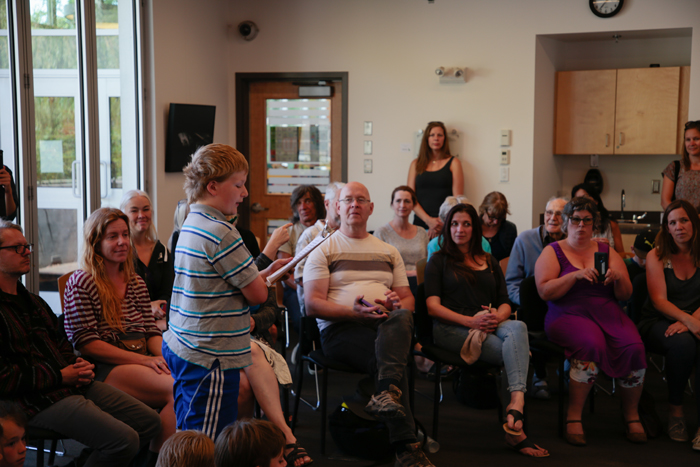
Students from Salt Spring Elementary School presented a map outlining the Indigenous history of Salt Spring Island through place names at the library on June 20.
The map, which is available online, includes four Indigenous locations on the island that were visited by the Grade 3/4 Owl Class. The class visited Southey Point (P’q’unup), Ganges (Shiya’hwt), Burgoyne Bay (Xwaaqw’um) and the Tsawout reserve at Fulford Harbour (Hwune’nuts) to get a sense of place and understanding of the First Nations people of the area. With the help of archaeologist Chris Arnett, the students were able to learn about the Hul’qumi’num language, history and culture on the island.
Each field trip taught the students about a new facet of Indigenous life on the island. During the trip to Southey Point, the students learned of the cautionary tale of the Wild Woman of the Woods. They learned about the First Nations village at Ganges, as well as the history of the Grace Islet burial site. In Burgoyne Bay the students were taught how storytelling was a part of Hul’qumi’num culture, and worked on a collaborative retelling of a First Nations fable.
Student Macey Cox said that her favourite part of the experience was “going to Fulford, hiking and learning about the people who lived there.”
By mapping out their field trips, the students were able to foster a sense of place and relate that to their learning.
“It was a great way to display our learning journey and to give the evidence of our learning. Since it was very much place-based, it was all about exploring the island, so it started with a map and understanding what our island looked like and how there were connections,” said teacher Katharine Byers. “It gives them a depth of understanding, appreciation and perspective. It was very useful for them to be out there on location to make it really real.”
Byers and fellow teacher Linda McDaniel were able to weave the lessons in to various subjects in their class. The students started the project with a letter-writing campaign in their English language arts class to help raise money for the various field trips they would take over the course of the year.
“As an elementary school teacher, you get to teach all of the subjects, so you can weave it all together and make it meaningful,” Byers said.
Byers explained that more First Nations sites on the island will be added to the map in future years, and that it is intended to be a long-standing document showing the history and importance of the First Nations people on Salt Spring.
The map will be made available to the public on the Salt Spring Archives website. Physical copies, printed with funding from the Salt Spring Island Foundation of Youth, are available at the visitors’ centre in Ganges.
For more on this story, see the June 26, 2019 issue of the Gulf Islands Driftwood newspaper, or subscribe online.

